Rochafrida Castle

Camino del Tovar, s/n, Ossa de Montiel

About this place

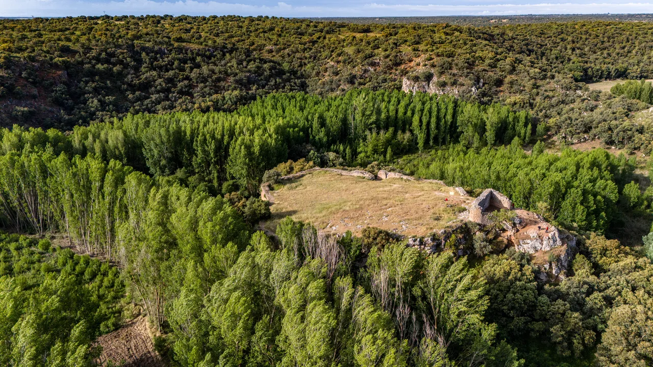
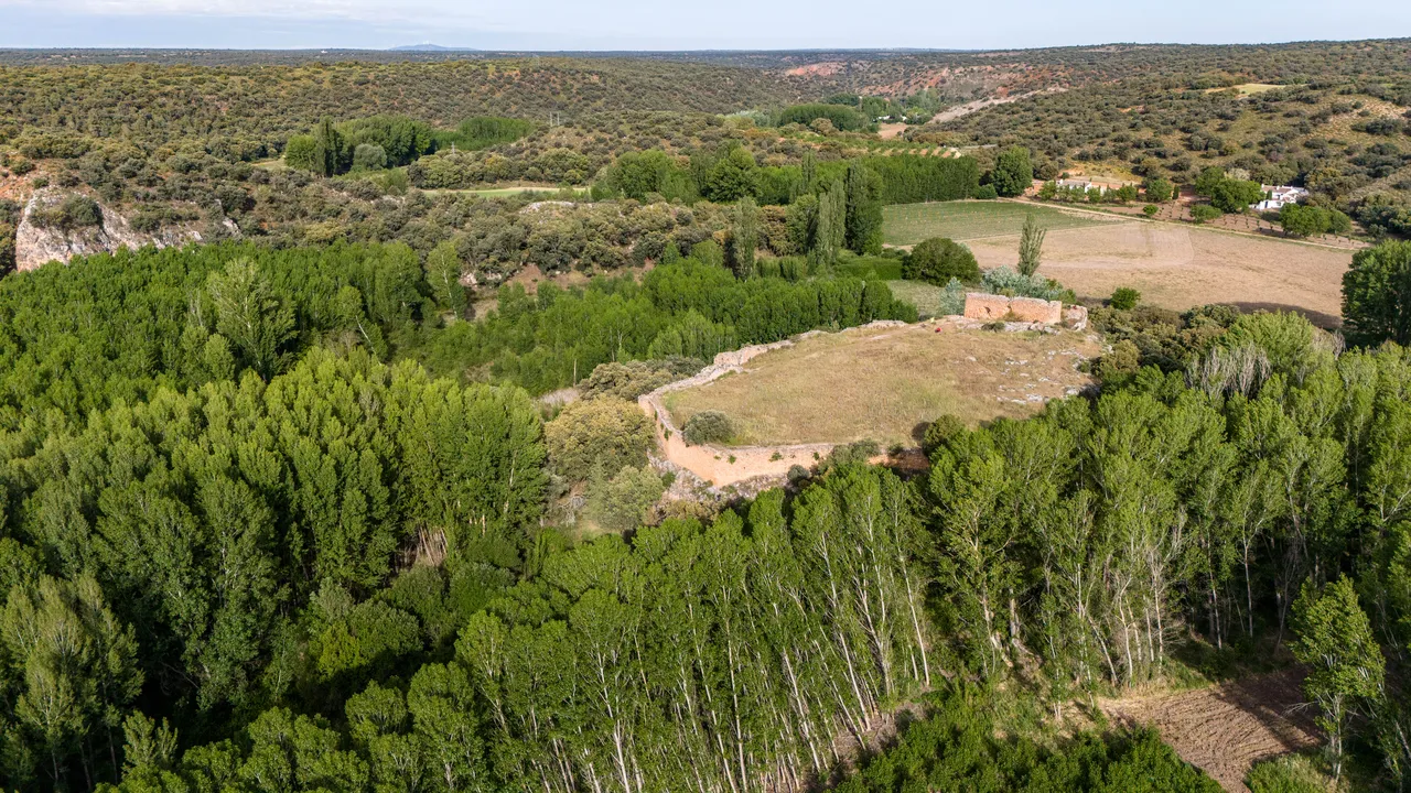
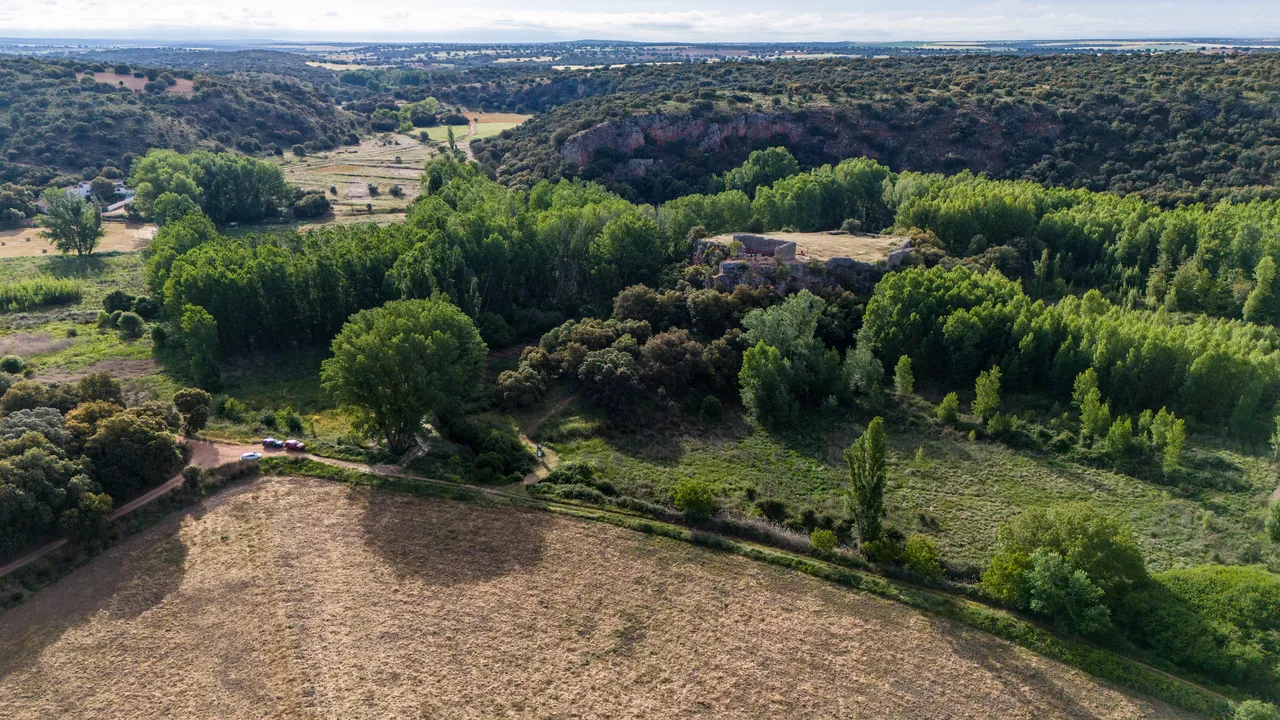
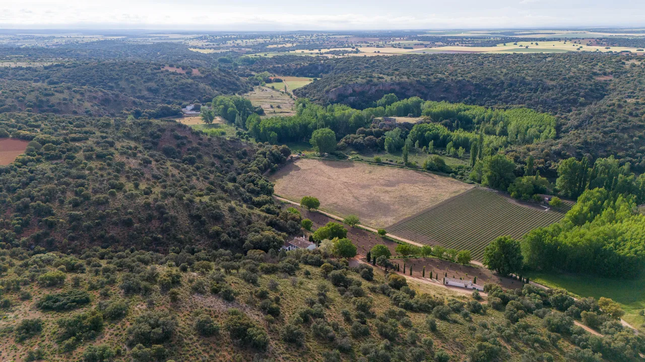
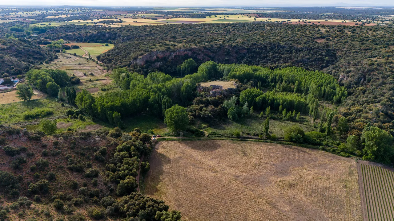
Rochafrida Castle, known in medieval documents as San Felices Castle, is located within the municipality of Ossa de Montiel, at the head of the Ruidera Lakes, next to the San Pedro Lagoon and very close to the hermitage of the same name. The fortress occupies a small, flat-topped hill overlooking the Alarconcillo stream valley and the historic route between Ossa and the lakes, in a landscape where water, pastures, and paths explain much of its importance.

The site has been occupied since ancient times and contains materials from the Andalusian period, although the preserved fortress is a feudal construction linked to the Order of Santiago, built in the second half of the 13th century. Historical records place the site in the donation of Ossa and San Felices to Suero Téllez in 1216, in the demarcation of 1254, and in its subsequent incorporation into the domain of the Order of Santiago in 1259. Its function was not only military: it also allowed control of a valuable pastureland, livestock grazing, water, and the resources of the lagoon banks.

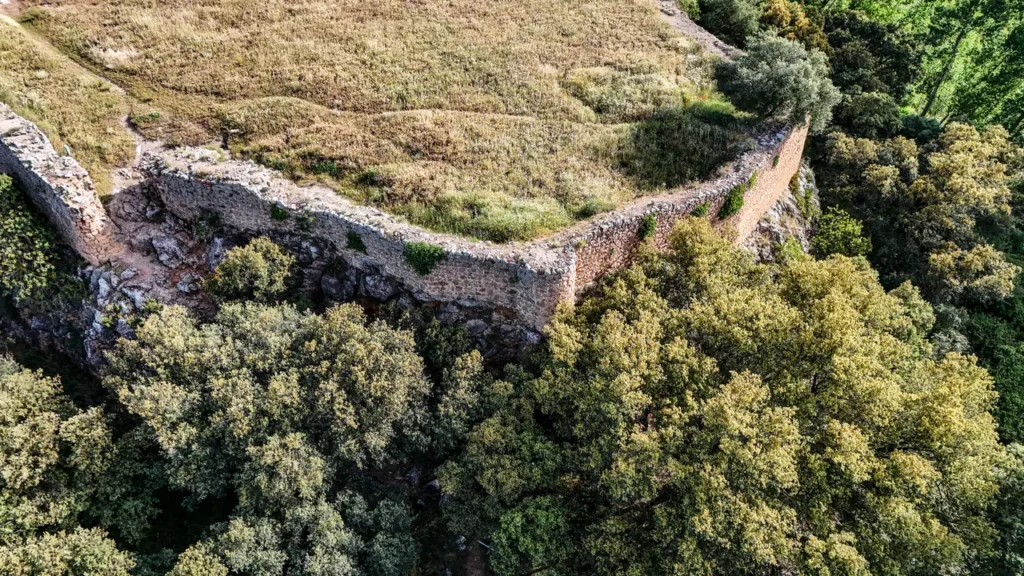
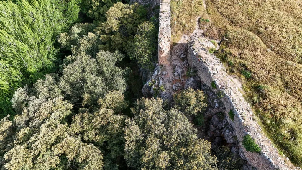
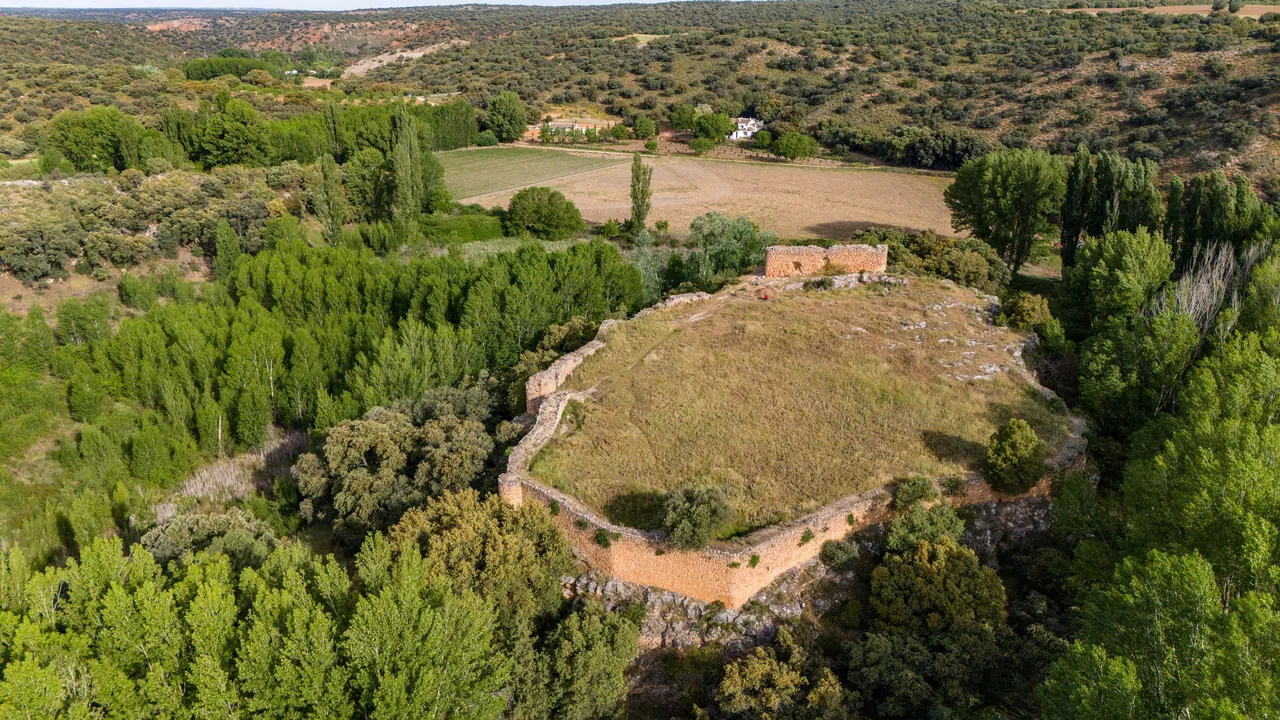
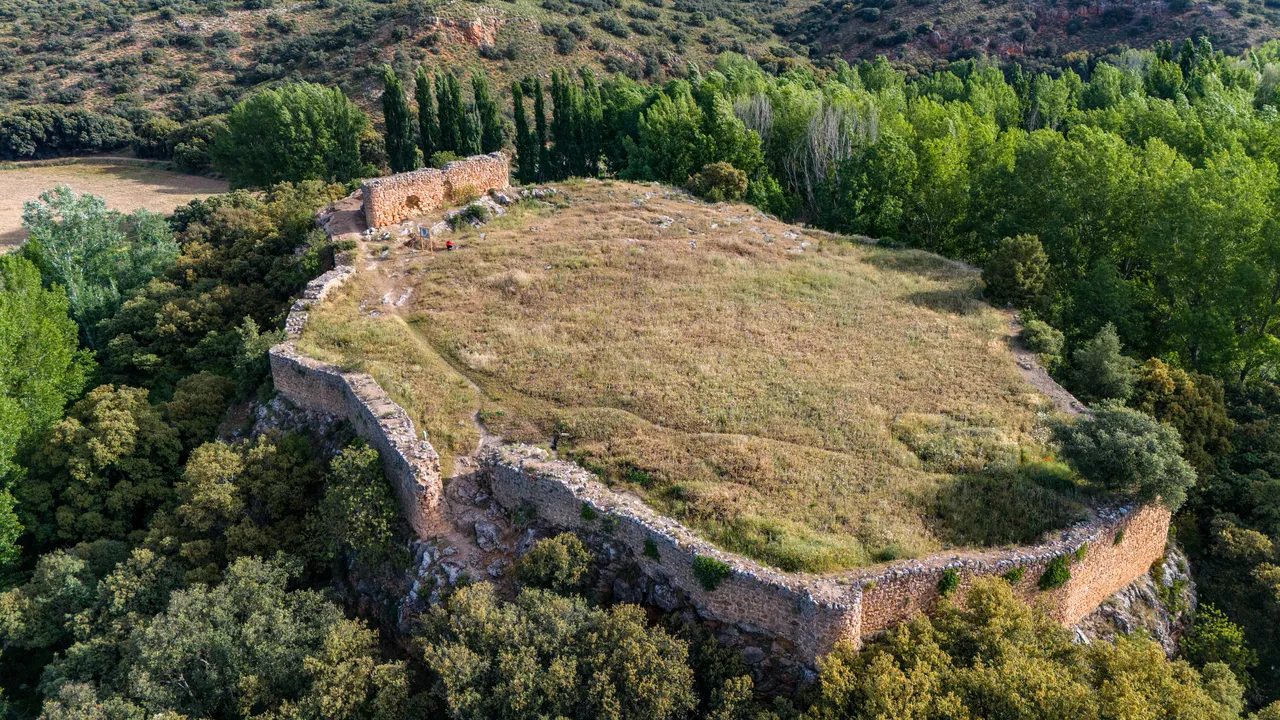
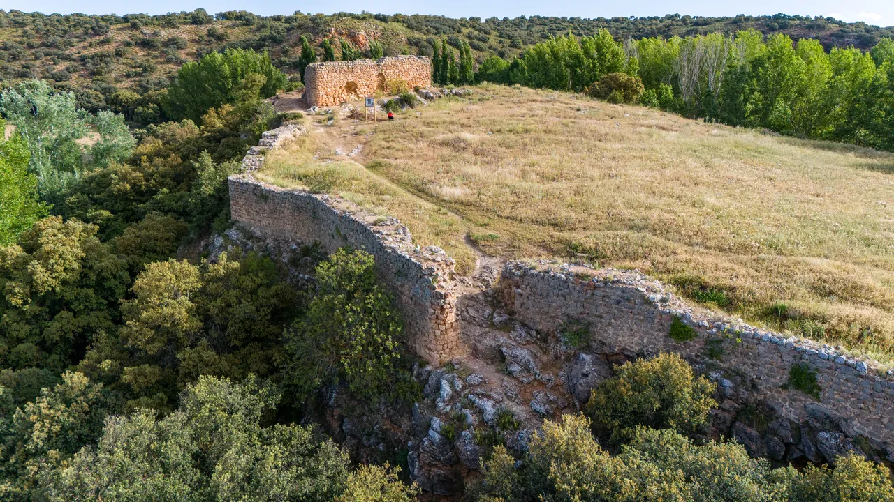
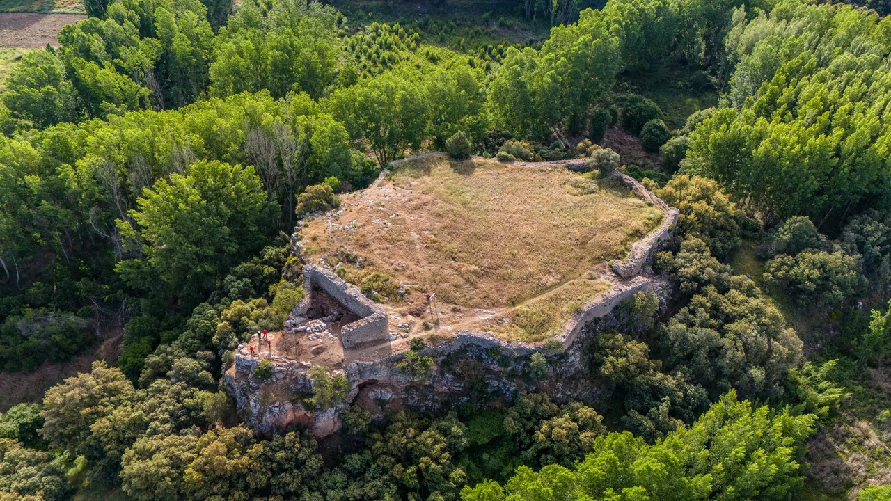
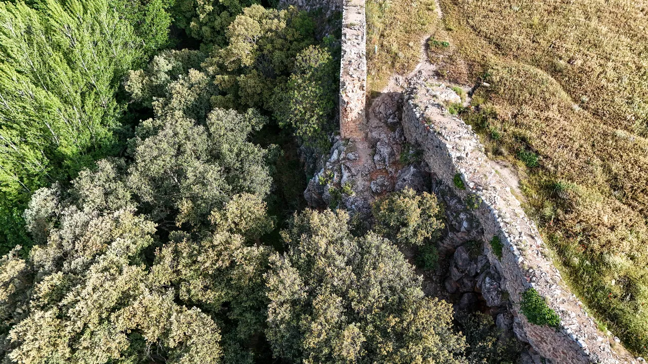
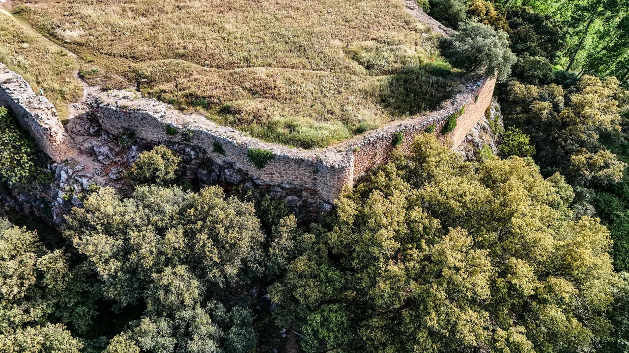
The current remains reveal a walled enclosure adapted to the rocky plateau, with an irregular layout, a main gate, access areas, a quarry associated with its construction, and an upper section identified with the main tower. The Topographical Reports of Philip II already describe it in the 16th century as a ruined castle, with walls of lime and stone, surrounded by the waters of the Guadiana River. This image of ruin, combined with its connection to the Cave of Montesinos and the ballads of Rosaflorida, made Rochafrida one of the most evocative places in the historical landscape of the Ruidera Lakes.

Useful information and location map

  • The walled enclosure of the castle, which allows us to recognize the adaptation of the fortress to the hill and the rocky terrain.
  • The access area and the main gate, where the route to the defensive enclosure is best understood.
  • The upper sector of the fortress, associated with the main tower and the visual control of the valley.
  • The San Pedro lagoon and the Alarconcillo stream, which highlight the role of water as a natural defense and as an economic resource.
  • The hermitage of San Pedro and the Cave of Montesinos are recommended to complete a visit that combines medieval archaeology, lagoon landscape and literary tradition.

VISUAL GALLERY

Explore the resource

Discover every corner of this resource through our multimedia collection

Rochafrida Castle a bird's-eye view

Other resources in the same municipality

Discover more things to visit that are nearby

C. Sta. María Magdalena, 1, Ossa de Montiel

Church of Saint Mary Magdalene

Ossa de Montiel

Ethnographic Museum of Ossa de Montiel

C-30 s/n, Ossa de Montiel

Montesinos Cave

Routes where this resource appears

Route of the castles of the Order of Santiago

Following the Christian victory at Las Navas de Tolosa (1212), the Order of Santiago was tasked with repopulating and defending the Campo de Montiel region against Almohad incursions from the south. To this end, they established a defensive system of over thirty fortresses scattered throughout the area, comprised of watchtowers and large castles such as the Castle of La Estrella de Montiel and Montizón Castle in Villamanrique. This two-day route explores the most significant military sites, following the same arc...

Distance

130 km

Duration

2 days

Difficulty

Moderate

Municipality

Several

Don Quixote's Trail through the Ruidera Lakes

In chapters XXII through XXIV of Part Two of Don Quixote, Cervantes sends Don Quixote of La Mancha, accompanied by Sancho Panza and a student who is a cousin of the skilled licentiate, to descend into the Cave of Montesinos. There, the knight dreams that he finds the characters of the Carolingian ballads enchanted by the wizard Merlin, and that the Lady Ruidera, her seven daughters, and two nieces have been transformed into the lagoons that bear her name, while her squire, Guadiana, has become a river. This route continues...

Distance

35 km

Duration

1 day

Difficulty

Easy

Municipality

Ruidera and Ossa