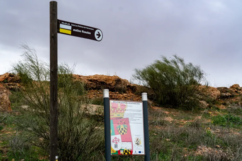
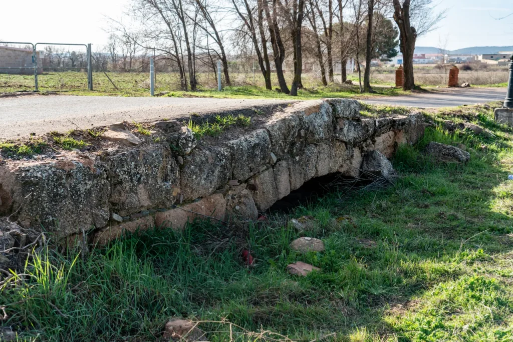
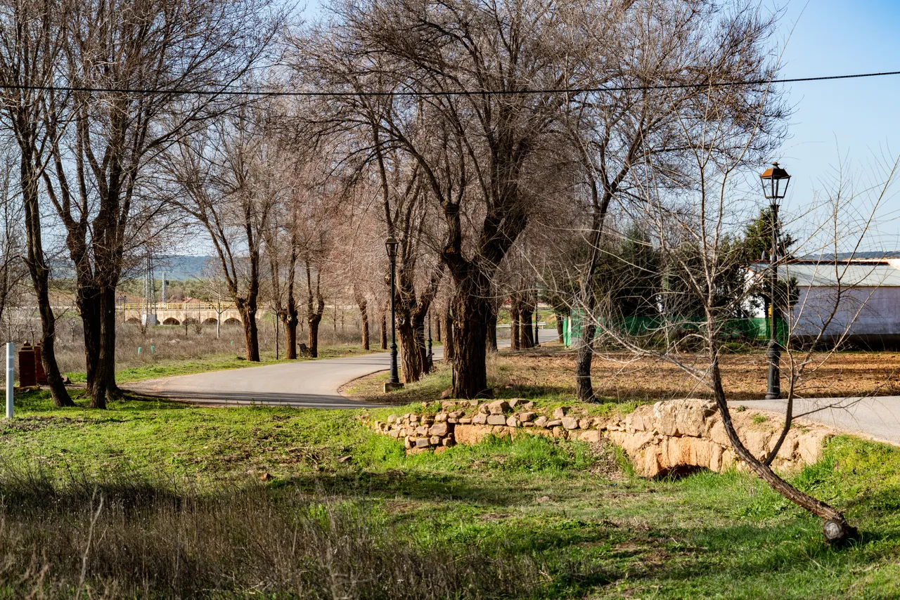
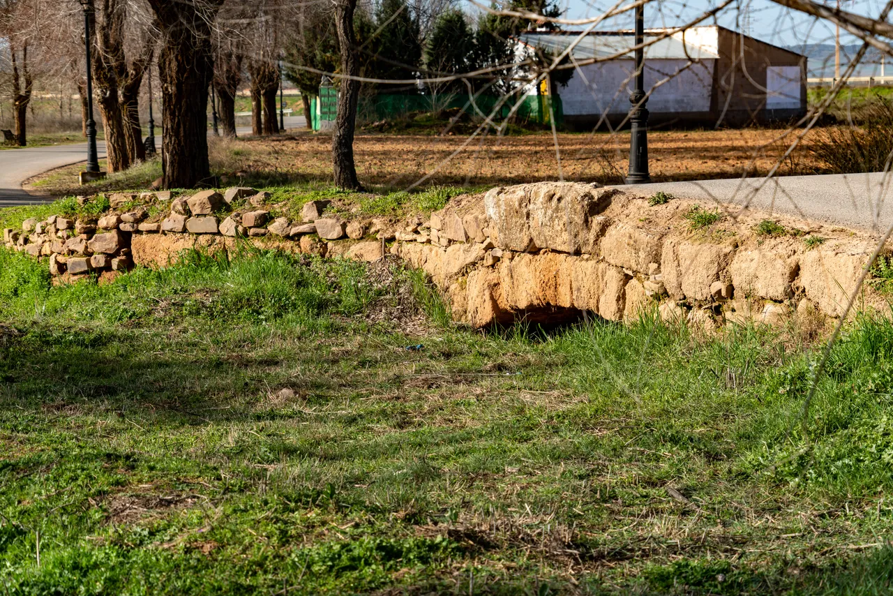
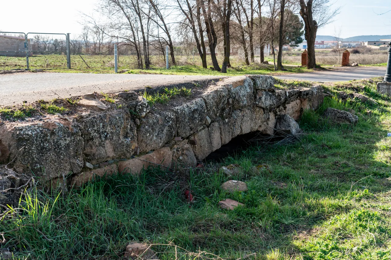
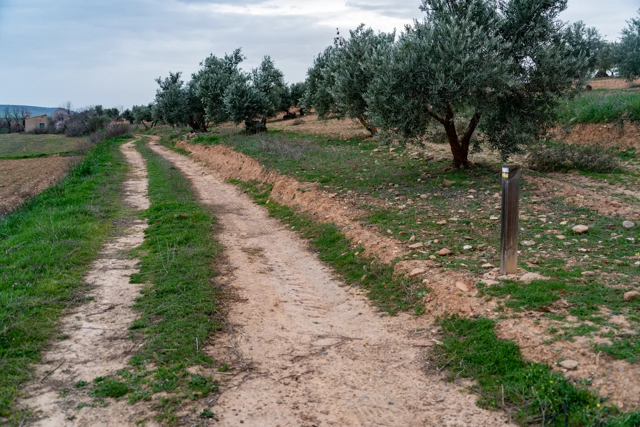
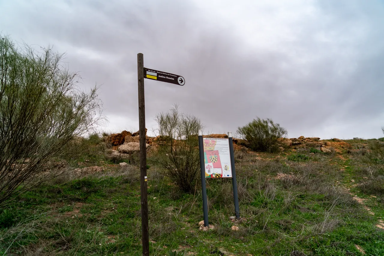
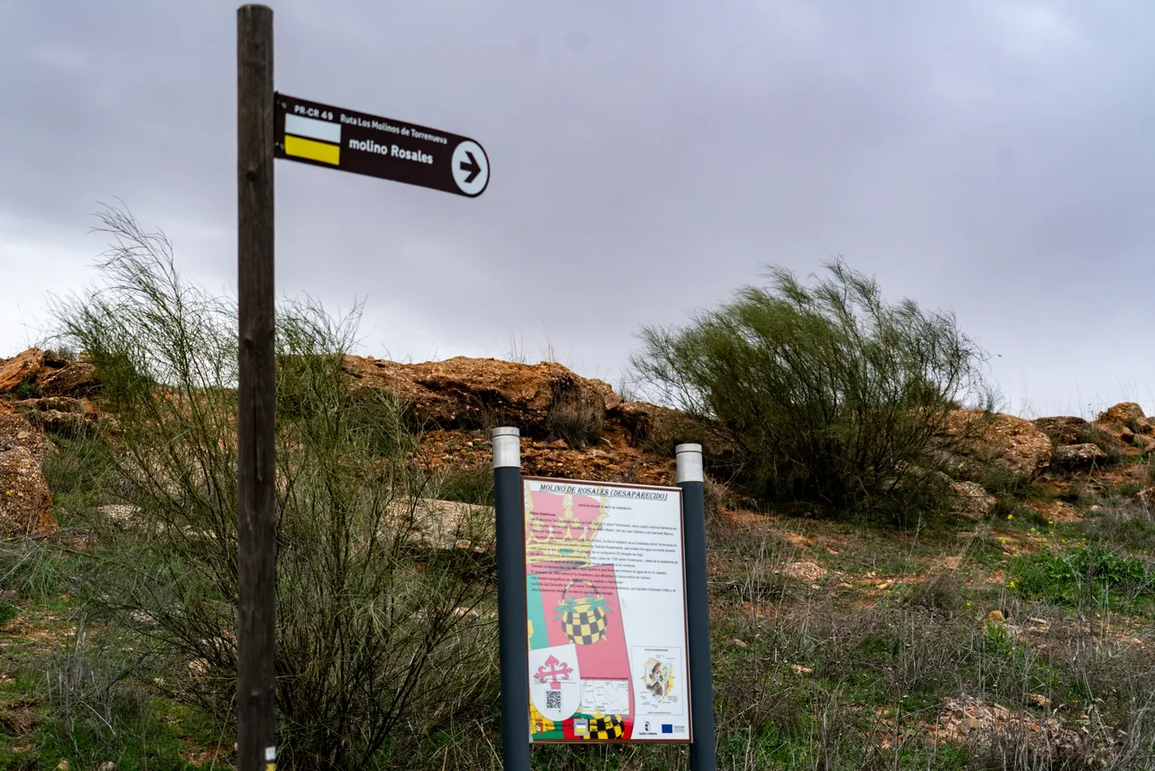
The Torrenueva Mills Route takes us to the banks of the Jabalón River, a landscape where the water, though modest and irregular, allowed for centuries the transformation of grain into flour. These are not windmills, but rather old watermills, linked to the use of a river with a low flow but vital to the local economy. The route allows you to leave the town center and understand the historical relationship between agriculture, roads, milling, and the river landscape.
The first clear references appear in the Topographical Reports of Philip II, in 1575, which mention four mills on the Jabalón River, although it is noted that they did not operate year-round because the river carried little water and they depended on rainy winters. By 1752, the Ensenada Cadastre already lists five flour mills, each with two millstones, including those known as Arriba, La Puente, Juan Gómez, and Rosales. At the end of the 18th century, Tomás López's Dictionary mentions six mills, a number that is maintained in the Gazetteer of 1863 and on the map of the Geographic and Cadastral Institute of 1923.
The current route should be understood as a hiking trail and an opportunity for ethnographic exploration of the area. The names preserved on the 1923 map—Molino de los Frailes, Molino del Fresno, Molino de Nuño, Molino de Rosales, Molino de Cara, and Molino de Arriba—help to reconstruct a productive landscape that has since been transformed. It is advisable to wear comfortable shoes, paying attention to the condition of the paths and avoiding entering farms, ruins, or private property without permission. The main interest lies in the walk itself, in identifying the old mill corridor, and in its connection with other nearby landmarks, especially the hermitage of Nuestra Señora de la Cabeza.