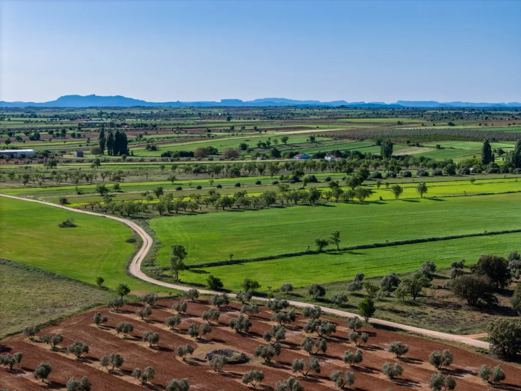
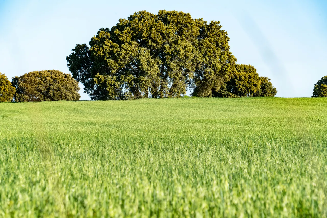
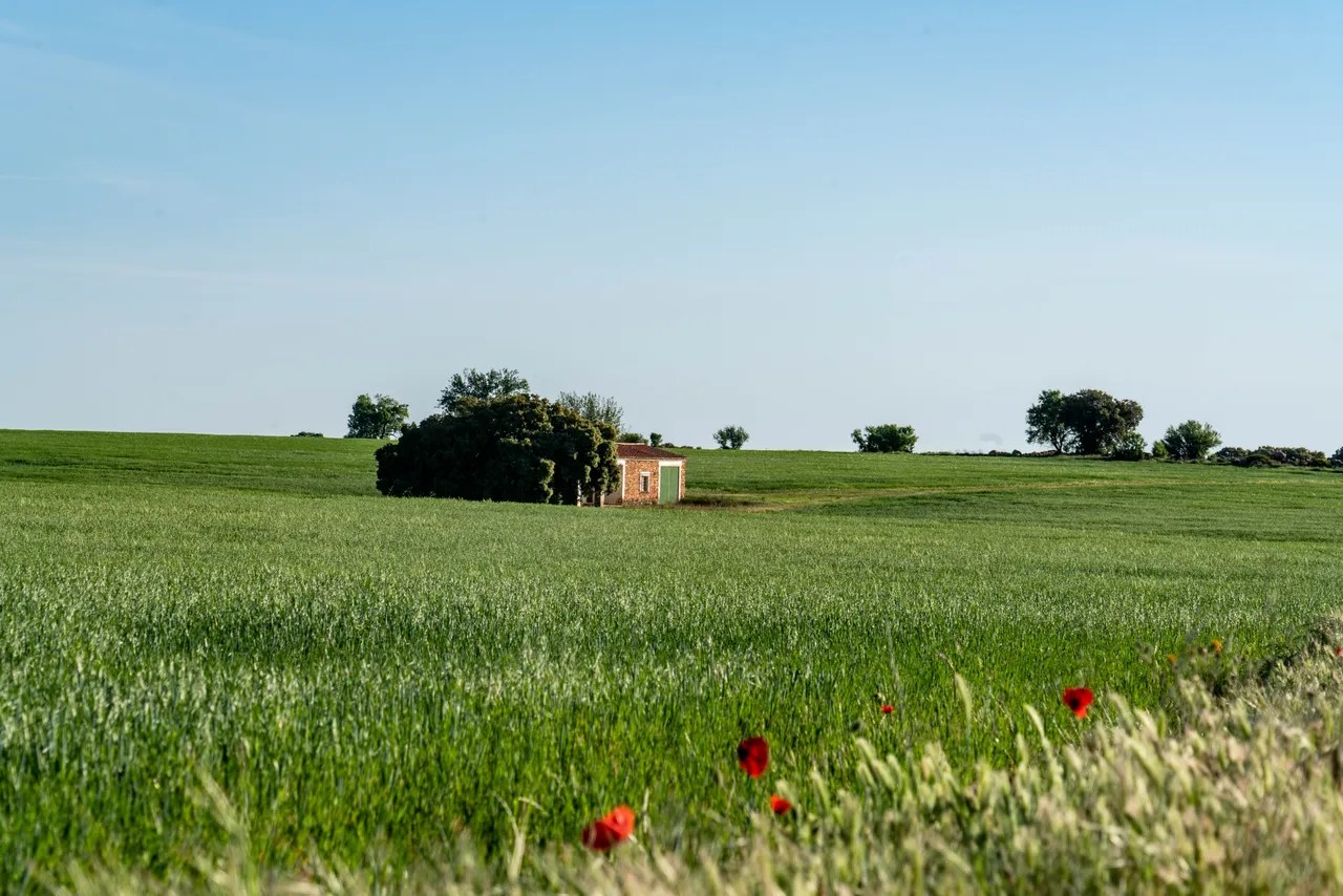
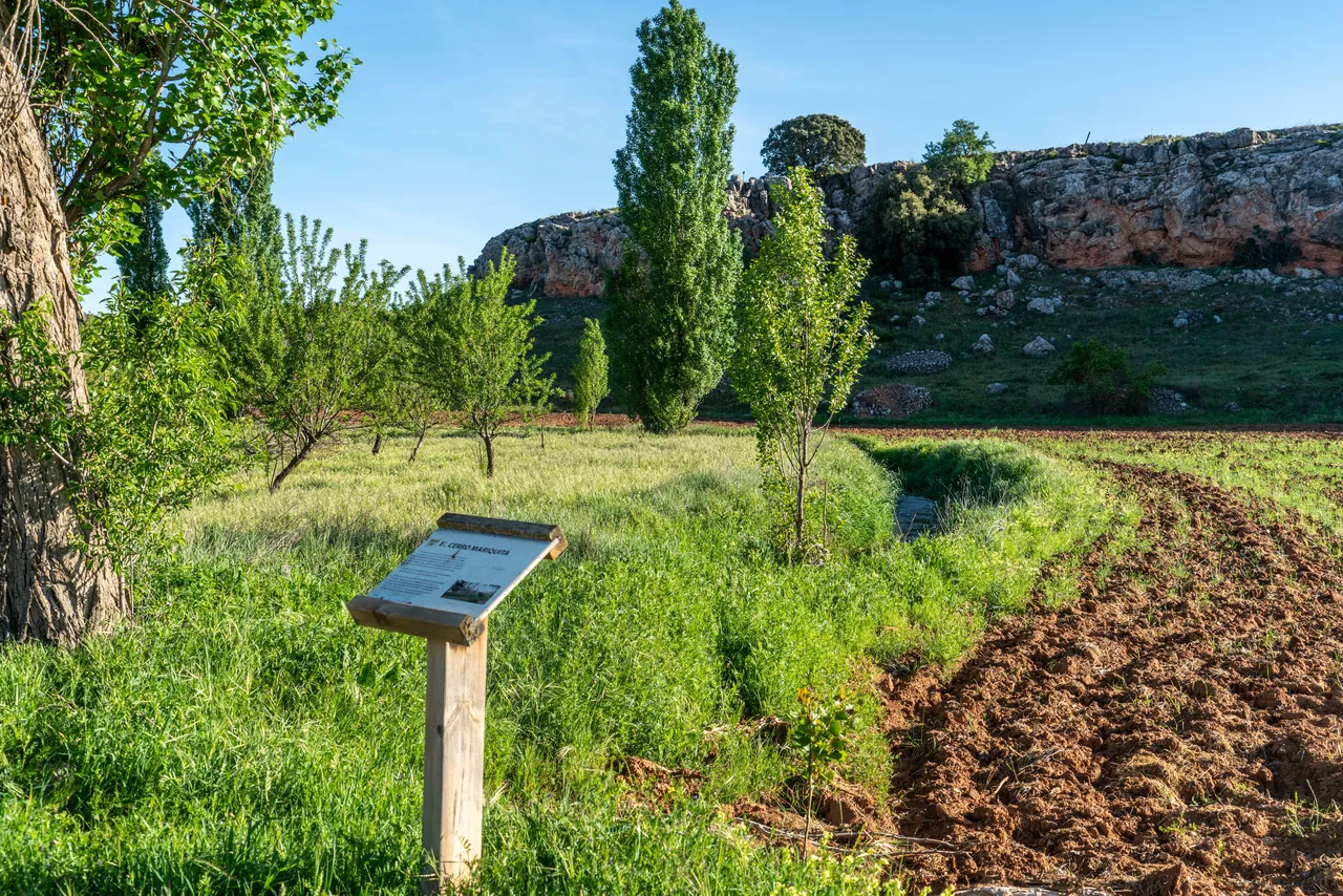
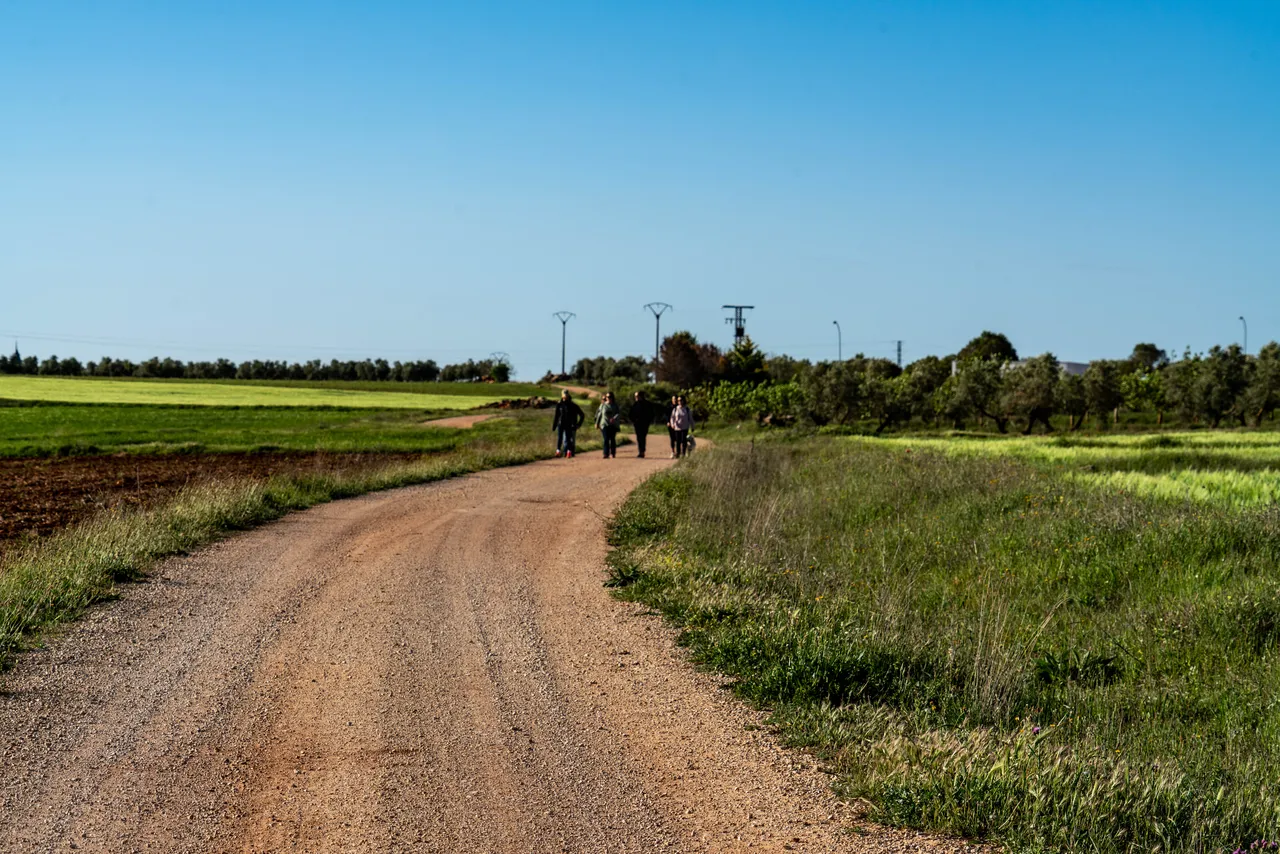
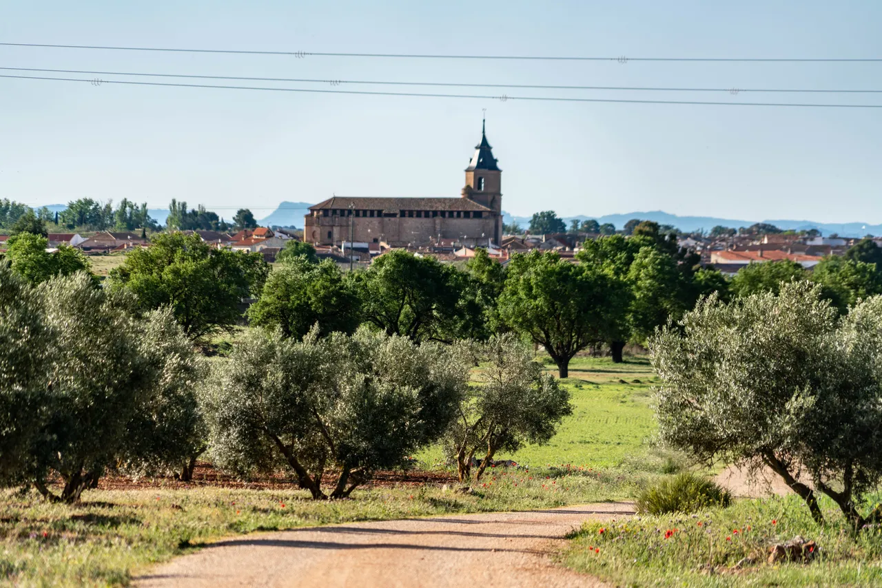
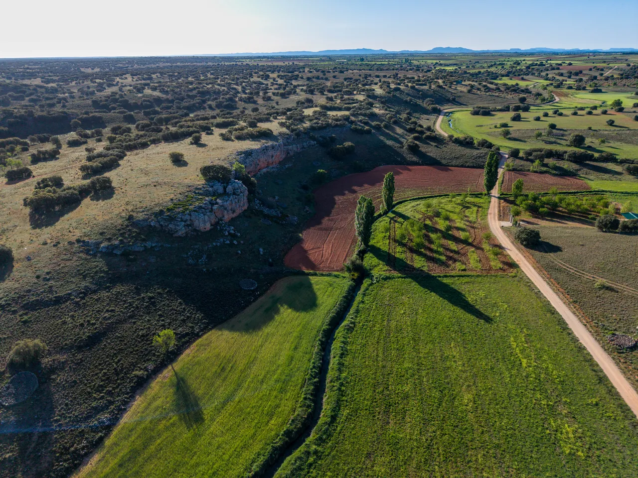
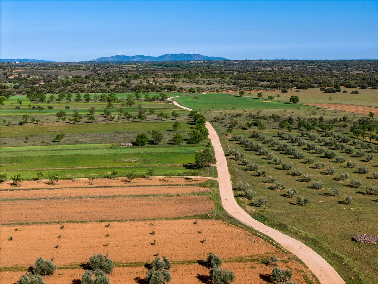
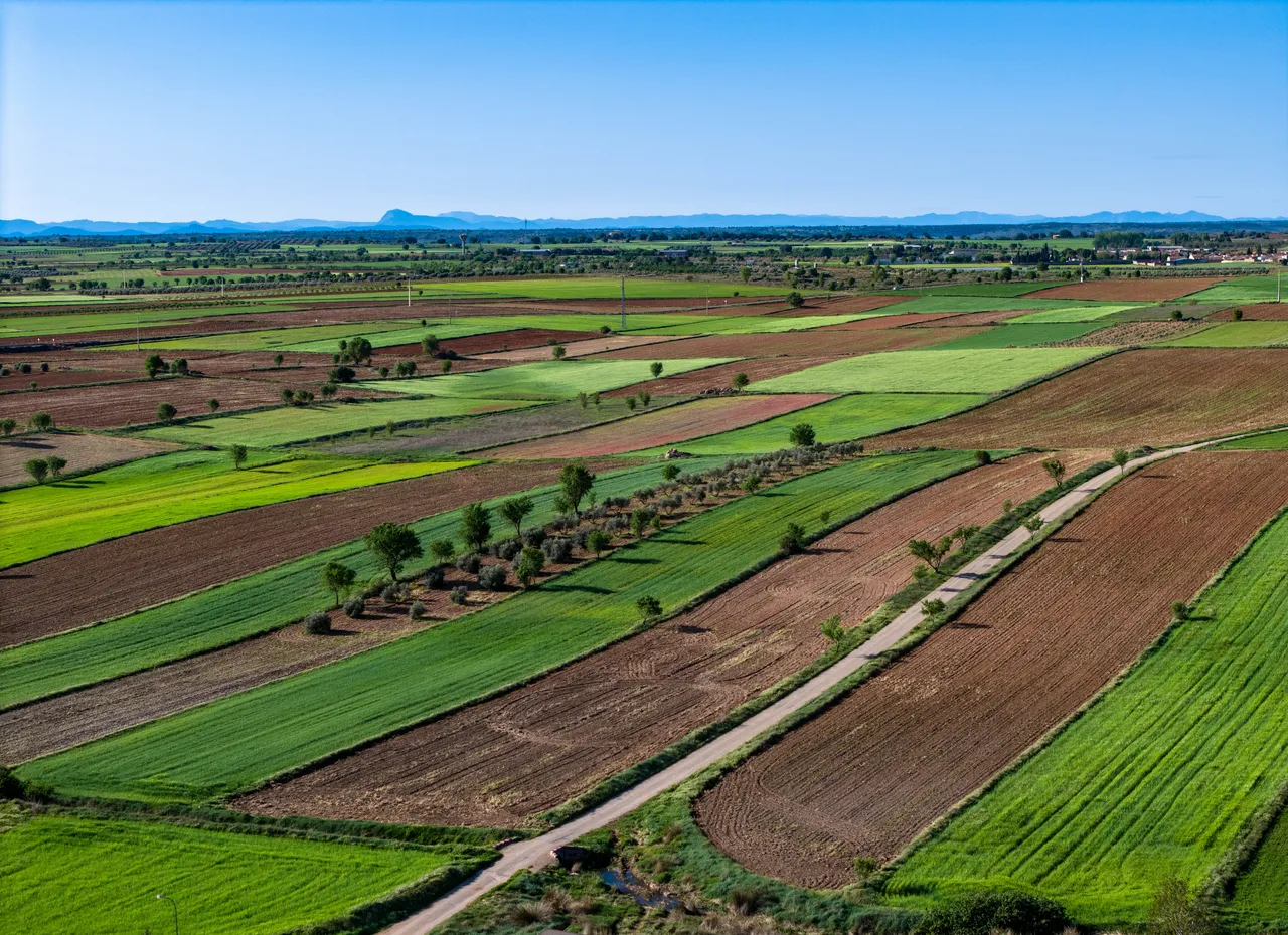
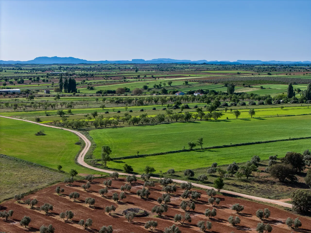
The Cortada–Fuente Blanca hiking route unfolds in a mid-mountain environment characterized by alternating areas of traditional cultivation, patches of Mediterranean scrubland, and steeper sections associated with the local hydrographic network. The route connects areas of significant scenic interest via a path that combines historic trails, agricultural and livestock tracks, and sections adapted for pedestrian traffic. The topography features gentle initial ascents that gradually give way to steeper sections, where water erosion has created small gorges and ravines that explain the route's place names. The dominant vegetation includes holm oak groves, rockrose scrub, and rosemary, along with riparian species in the wetlands near the spring.
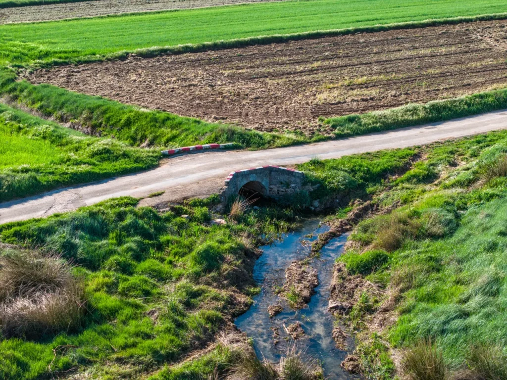
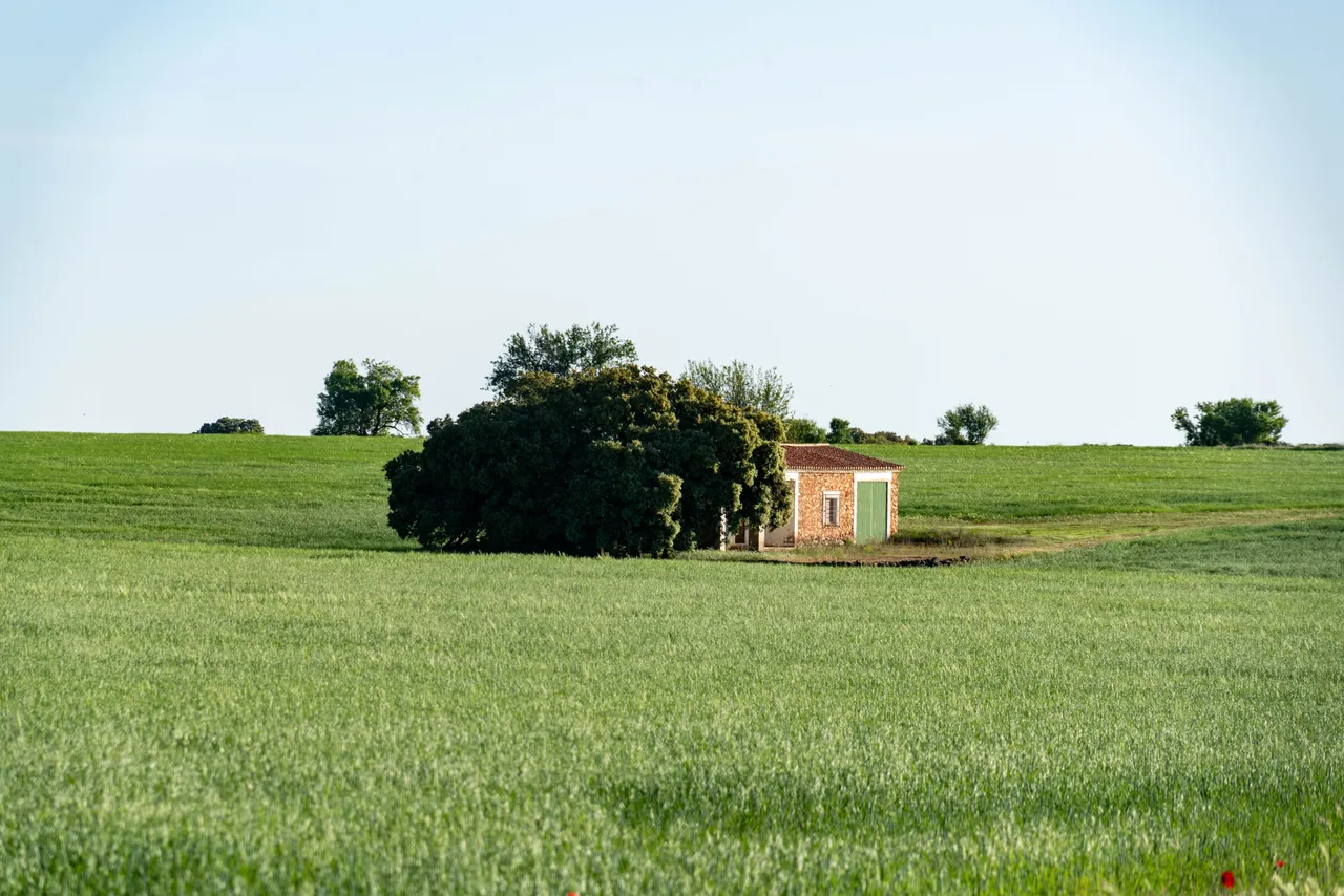
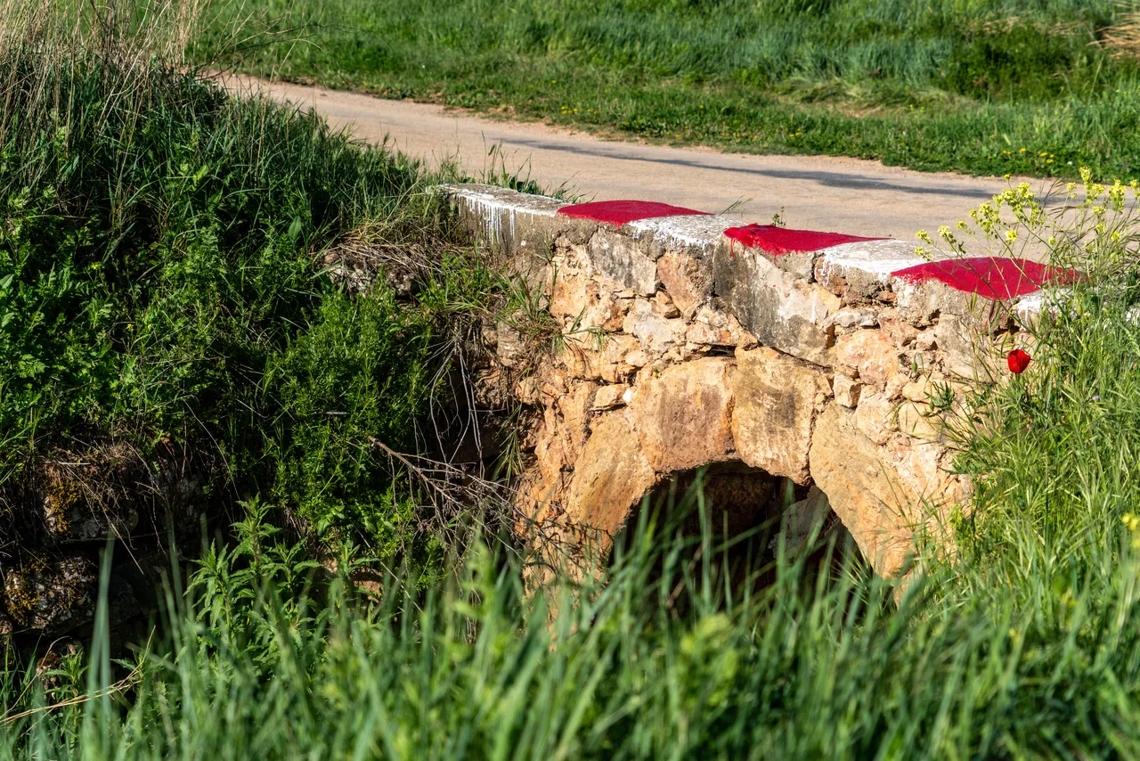
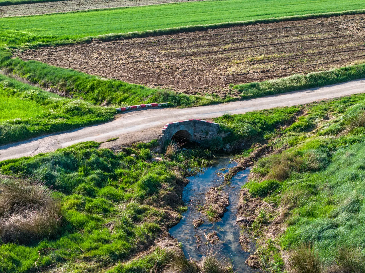
The route holds added historical and territorial interest, as it passes through areas traditionally used for extensive livestock farming and forestry. The presence of old paths, stone boundaries, and minor hydraulic structures reveals a continuous occupation of the land, linked to economic models typical of rural La Mancha. At certain points along the route, areas offering visual control of the surroundings can be identified, demonstrating their integration into a historical network of routes that connected small farms, natural springs, and grazing areas. The Fuente Blanca (White Spring) is the central element of the route, both for its scenic value and its traditional function as a water source.
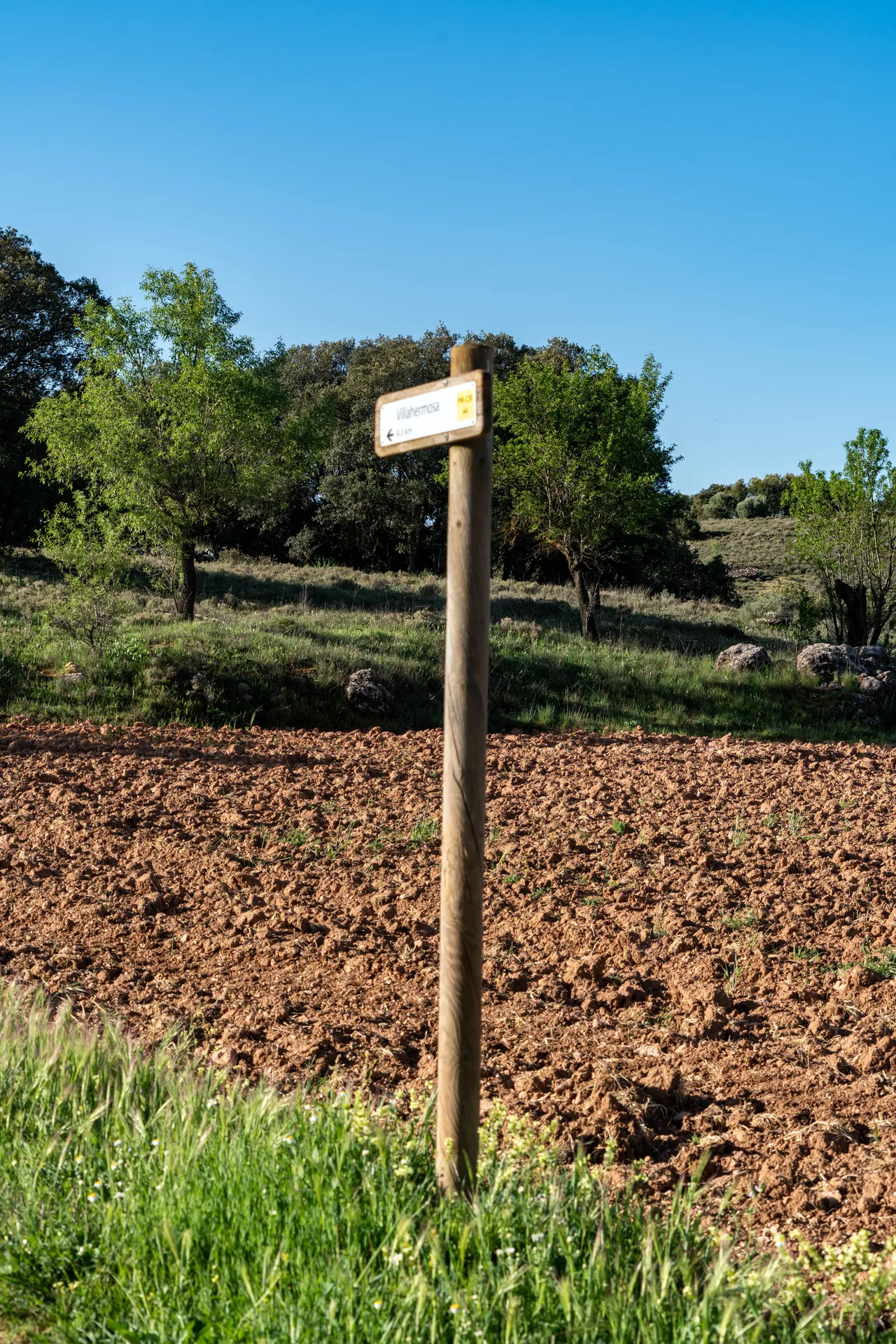
The route is of medium difficulty and of a suitable length for completing in a single day, making it ideal for both recreational and educational purposes. The combination of natural and cultural elements allows the route to be used as a resource for landscape interpretation, integrating geological, ecological, and historical aspects into a single experience. Signage, where present, follows basic local route models, so it is recommended to supplement the route with maps or GPS devices. Seasonality significantly influences the experience, especially in the sections near the spring, where the flow and vegetation vary considerably.